For visitors
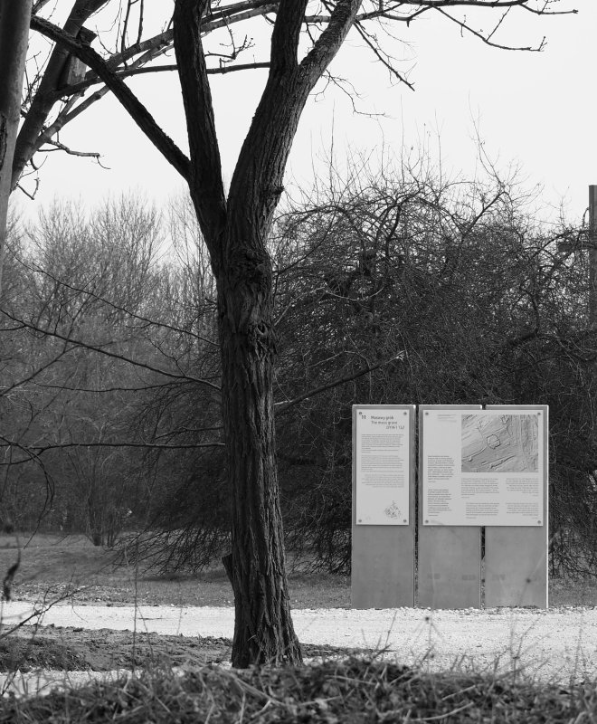
In 2023. The KL Plaszow Museum carried out a commemoration in the area of the KL Plaszow Memorial Site. As part of the work, the boundaries of two Jewish cemeteries were marked, the historic camp roads were made clear, and the roll call square was surrounded by a gravel strip. Access to the higher areas is provided by three flights of field stairs. At the seven main entrances to the KL Plaszow memorial site, there are boards with regulations specifying the rules applicable on the museum grounds.
The exhibition “KL Plaszow. A Site After, A Site Without” along with complementary field points and archaeological windows provide visitors with a historical commentary. There are also seven monuments at the memorial site that are part of the commemoration of KL Plaszow.
The exhibition “KL Plaszow. A Site After, A Site Without” along with complementary field points and archaeological windows provide visitors with a historical commentary. There are also seven monuments at the memorial site that are part of the commemoration of KL Plaszow.
Map of KL Plaszow

Administration and residential buildings for staff
1. Commandant office
2. Ruins of the Funeral Home at the Jewish cemetery of the Kraków community
3. Guards barracks (Wachkaserne)
4. The Grey House
5. Warehouses for robbed property
6. SS officer houses
7. Garages and warehouses
Section for prisoners
8. Children’s barrack
9. Section for Jewish female inmates
10. Quarantine zone and baths
11. Hospital section
12. Supplies sector (kitchen, bakery, warehouses)
13. Barracks for Jewish male inmates
14. Roll-call ground
15. Barracks for Polish inmates
Workshop section
16. Old industrial section
17. Construction materials depot
18. New industrial section
Execution places
A – the first execution place
B – H-Hill
C – C-Pit
Map in Google Maps browser
This map of the KL Plaszow was drawn on the basis of a historical camp map and the results of surveys conducted by the Kraków Museum since 2016. The map depicts the status of KL Plaszow in mid-1944 with its main roads, existing buildings, planned structures, fire ponds (water reservoirs for fire fighting) and execution places. Click here to see the map:
MAP OF KL PLASZOW
MAP OF KL PLASZOW
Map for GPS devices
Open-air exhibition (pdf for download)